Features
Ananeva’s Research Shows Arctic Ships Don’t Need Icebreakers
Oceanographer and cartographer Anna Ananeva has spent the past eight years developing satellite-based navigation tools for the Northern Sea Route, tackling both safety risks and the ecological burden of icebreaker-dependent shipping
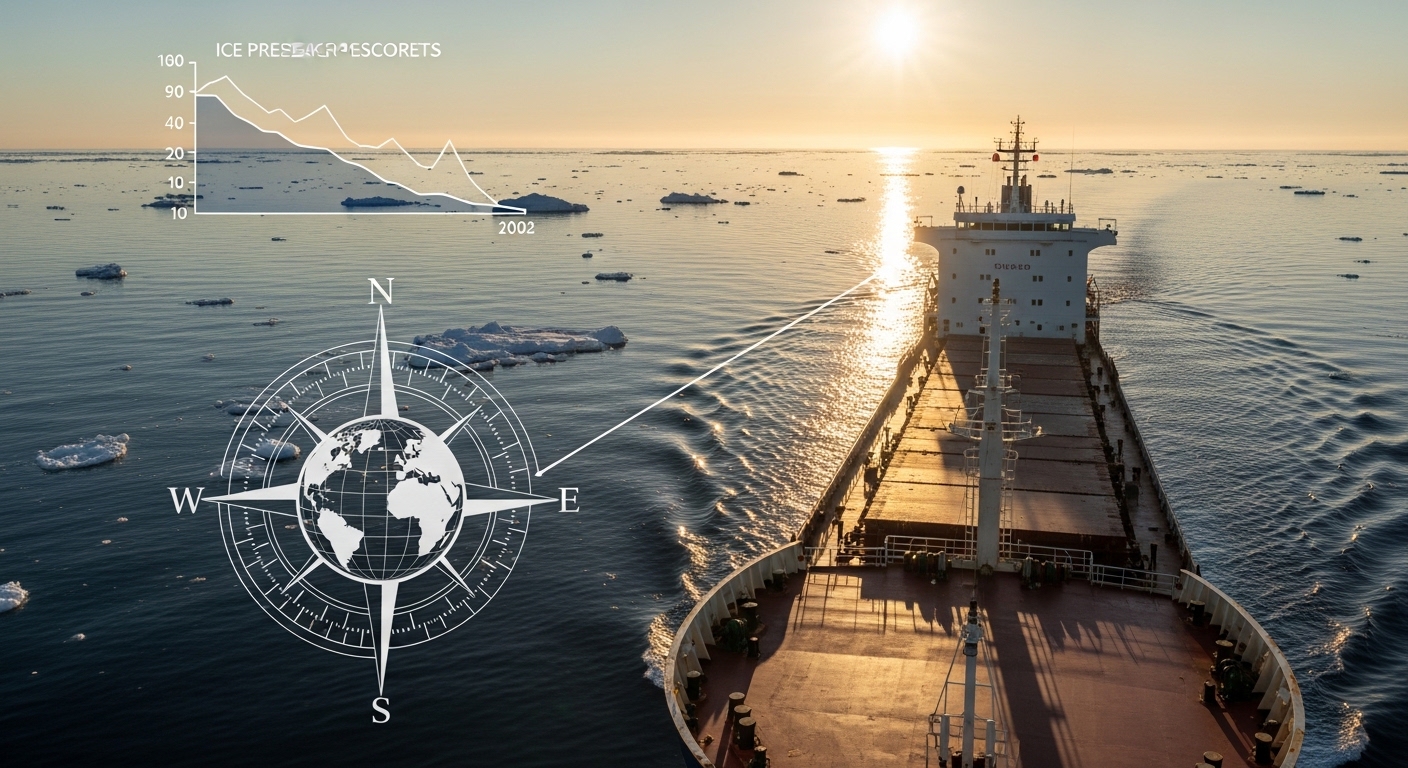
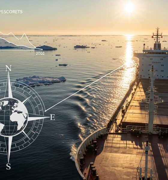
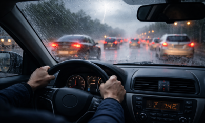
A group of countries led by Denmark proposed that the International Maritime Organization require ships in Arctic waters to switch from heavy residual fuels to cleaner alternatives, so-called “polar fuels”, to curb black carbon emissions that accelerate ice melt. Russia, Saudi Arabia, and the United States blocked the effort, delaying any binding regulation by at least another year. While governments stall, the volume of Arctic shipping keeps climbing, and with it the soot settling on ice that is already retreating faster than models predicted a decade ago. Cleaner fuel is one part of the equation. But another, less discussed lever exists: reducing the need for icebreaker escorts, which burn enormous quantities of heavy fuel to carve channels through pack ice. Anna Ananeva, an oceanographer and cartographer based in Saint Petersburg, has built a methodology that targets exactly this problem. Using satellite imagery, she identifies stretches of Russia’s Northern Sea Route where ships can safely transit without icebreaker assistance during the summer season. Early estimates put the cost reduction at 16.6% per passage – savings driven largely by eliminating icebreaker fees, which also means eliminating the icebreaker’s own fuel burn in some of the planet’s most fragile waters.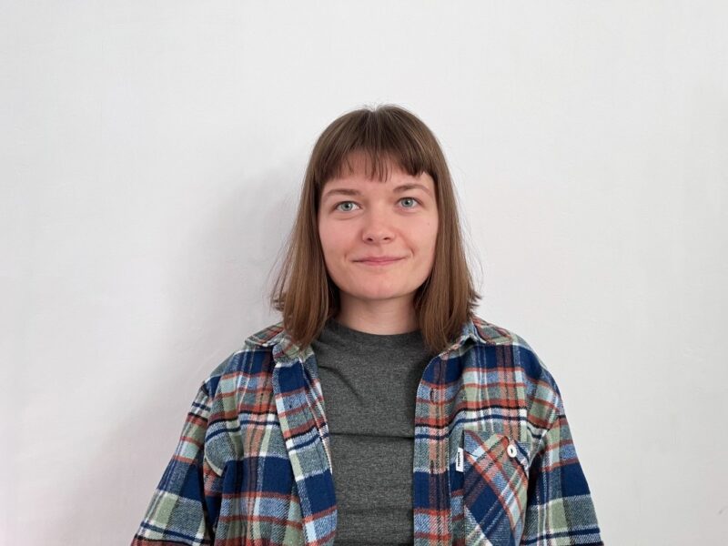
Where Satellite Imagery Meets the Open Ocean
Ananeva’s academic path wound through marine information systems and satellite oceanography at the Russian State Hydrometeorological University (RSHU) in Saint Petersburg. A course on remote sensing of the ocean surface during her bachelor’s programme redirected her focus entirely.
“I grew up in Kronstadt, surrounded by water on all sides,” Ananeva says. “Studying the ocean felt natural. But it was satellite data that gave me a new way to look at it – from above, across time, at scales no single expedition could cover.”
Before finishing her master’s thesis, she was already reviewing students’ work in satellite oceanography – a sign that her grasp of the subject had outpaced the usual timeline. Training at the Satellite Oceanography Laboratory of RSHU, the Institute of Space Research (Russian Academy of Sciences), and the Shirshov Institute of Oceanology’s “Floating University” programme between 2018 and 2021 sharpened her analytical toolkit and connected her with researchers across disciplines.
An Iceberg’s Two-Decade Odyssey
Long before turning satellite analysis toward navigation planning, Ananeva honed the core approach on a more fundamental task: tracing the full lifecycle of a large Antarctic iceberg through twenty years of archival satellite data. She tracked the iceberg from the moment it calved off the shelf to its near-complete melting in the open ocean. Its drift path traced a near-complete loop around the continent.
“I could see its entire life unfold in the data,” she explains. “Where it broke off, how currents carried it, how it shrank year by year. No ship could follow an iceberg for two decades – only satellite archives make that possible.”
What mattered most was not the iceberg itself but what the project revealed about the method. Multiyear satellite records expose patterns in ice behaviour: drift tendencies, seasonal thinning windows, recurrent melt zonesб that no single expedition or snapshot could capture. She presented these findings at the MARESEDU-2019 conference at the Shirshov Institute of Oceanology in Moscow and at a forum marking the 200th anniversary of the First Russian Antarctic Expedition (1819–1821). The same principle, reading long-term patterns instead of relying on single-moment observations, would later become the foundation of her Northern Sea Route methodology.
Icebreaker-Free Passages: When Satellite Data Replaces Escort Convoys
At the core of her research sits a master’s thesis project, now being prepared for full publication, that focuses on the Northern Sea Route (NSR), the Arctic corridor stretching along Russia’s northern coast from Murmansk to the Bering Strait. Cargo traffic on this route reached 103 transit voyages and roughly 3.2 million tons in 2025, according to the Centre for High North Logistics. Russia’s nuclear icebreakers operated along the eastern sections for most of the summer to keep lanes open.
The methodology relies on satellite data from instruments like the AMSR-2 microwave radiometer to systematically map ice conditions along the NSR during summer navigation. Rather than providing a snapshot, the approach analyses patterns across multiple years to identify segments, particularly in the Kara and Laptev Seas, where ice reliably thins enough to permit safe transit without icebreaker support.
“Icebreaker escort is expensive and adds complexity,” Ananeva notes. “If satellite analysis can show that certain segments are consistently passable during specific weeks, ships can plan routes that avoid escort fees and still maintain safety margins.”
Calculated savings of 16.6% per transit reflect both direct cost reductions and the operational efficiency of autonomous passage. Beyond economics, fewer icebreaker deployments mean less heavy-fuel combustion in waters where every tonne of black carbon accelerates the feedback loop between soot, ice melt, and rising temperatures – precisely the dynamic the IMO has failed to regulate.
Cyclones That Catch Captains Off Guard
Published output from her lab and fieldwork extends well beyond the NSR corridor. Between 2018 and 2021, she authored or co-authored six scientific papers and delivered nine conference presentations at institutions including the Shirshov Institute of Oceanology, RSHU, and the International Conference on Geology, Geophysics and Geoecology in Maykop. Research topics span ice dynamics near the Novosibirsk Islands, polar cyclone formation in the southern Kara Sea and its effects on maritime safety, and a comprehensive temperature assessment of the Baltic Sea using satellite and ground-station data from 2010 to 2018.
Her Kara Sea research, for instance, relied on synergistic analysis of satellite and meteorological data to study mesoscale polar cyclones: fast-forming, hard-to-predict weather systems that pose serious risks to ships operating near port Sabetta and in adjacent waters. Understanding where and when these cyclones develop is not an abstract exercise: it feeds directly into navigation safety planning for one of the busiest segments of the Arctic shipping corridor.
Since 2021, Ananeva has also served as a peer reviewer for the multidisciplinary journal Aktualnye Issledovaniya, evaluating submissions in cartography and hydrometeorology – a recognition of her expertise by the editorial community in those fields.
A PhD and a Fragile Ocean
Today, Ananeva works as a cartographer at Yandex, but her research ambitions reach further. A doctoral programme remains a near-term goal, delayed by circumstances but not abandoned. She plans to continue refining the NSR navigation methodology toward full publication and broader applicability – extending it, potentially, to scientific expeditions, fishing fleets, and tourism operations in Arctic waters.
“The methodology isn’t limited to commercial cargo,” she says. “Any vessel operating in the Arctic benefits from better ice intelligence. And every transit that avoids unnecessary icebreaker escort is one less source of heavy emissions in a fragile environment.”
Beyond research, Ananeva describes a personal mission: making ocean science accessible. “People hear ‘satellite oceanography’ and assume it’s impenetrably complex. It doesn’t have to be. The data tells stories – about ice, about currents, about how our planet is changing. I want more people to understand those stories, because the decisions we make about the Arctic affect everyone.”
While regulators at the IMO continue to debate fuel mandates and petrostates block binding action, tools that reduce the need for icebreaker escort in the first place offer a quieter but no less practical path to lower emissions. Satellite-based navigation planning, the kind Ananeva has spent years developing, sits precisely at that intersection of economic logic and environmental necessity.


Future-Proofing the Sustainable Workplace: Integrating Solar PV and Smart EV Infrastructure

Why Outdoor Offices Are the Future of Sustainable Work

How Eco-Conscious People Can Find Careers in Healthcare

Early Environmental Education Helps Children in Extrodinary Ways

Half of UK offices send furniture to landfill. Why is nobody talking about it?

Why Starting a Green Business as an LLC Makes Sense

Eco-Friendly Kitchen Deep Cleaning Tips for a Healthier Home

Ananeva’s Research Shows Arctic Ships Don’t Need Icebreakers

Repairing, Replacing, or Upgrading Windows for Sustainability

Are 4-in-1 Taps Worthwhile for Eco-Friendly Homes?
Future-Proofing the Sustainable Workplace: Integrating Solar PV and Smart EV Infrastructure
Early Environmental Education Helps Children in Extrodinary Ways
Why Outdoor Offices Are the Future of Sustainable Work
How Eco-Conscious People Can Find Careers in Healthcare

 Environment11 months ago
Small Choices, Big Impact: Cutting Your Daily Carbon Footprint
- Features9 months ago
Top Agricultural Stocks to Watch
- Sustainability10 months ago
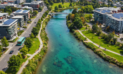
Sustainable Travel in Christchurch: A Greener Way to Explore
- Features12 months ago
Breathing Easy: How Pool Chemicals Affect Lung Health And Safety